Before William was a world-famous cartoonist, he worked at a paddle shop near the Haw River in the mid-1970s, sketching maps of the rapids for customers. Just a few years later, he turned that talent into a profession. With a style that was heavily influenced by a radical counterculture genre known as underground Comix, William became the first person to map several famous rivers of the southeastern United States. Collect his entire line of Whitewater River Maps.
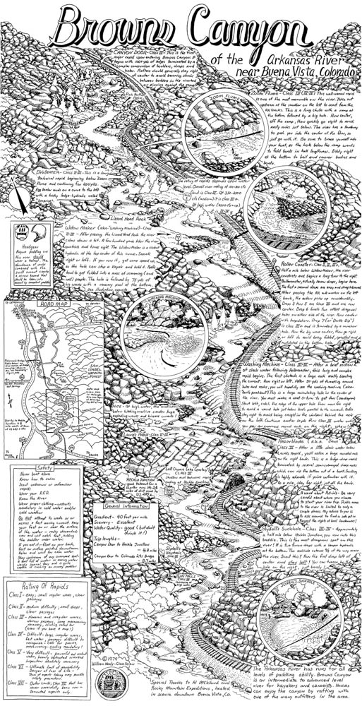
This detailed illustration measures at 18″ x. 35″ in size. Perfect for framing! Due to the packaging requirements for these poster maps, there will be an $8 fee added to your order for handling cost. All maps are shipped in heavy duty cardboard tubes to protect during shipping.
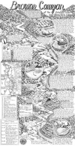
River Map: Brown Canyon
$7.95
Informative and wildly entertaining, this hand-illustrated map by William Nealy is a treasure that every paddler can appreciate.
The Arkansas River has long been a popular destination for outdoor adventure due to its beautiful runs through the rugged scenery of Browns Canyon. All of its fantastic features are why legendary cartoonist William Nealy mapped the river with his unique style, blending a twisted sense of humor with instructions for safely navigating the rapids.
Covering nearly 22,000 acres of federally and state-managed public lands in Colorado, Browns Canyon became a national monument in 2015, and Nealy’s map is the ultimate collectors’ item, allowing generations of paddlers to follow in William’s footsteps. This classic map has been sought across the United States for years because of its relevance and insider’s perspective. Artistically bizarre and totally irreverent, Browns Canyon is now available as part of The William Nealy Collection. The beautiful map doubles as striking, hilarious, conversation-starting art. Color it, frame it, and share it with others.
Additional information
| Dimensions | 18 × 35 in |
|---|---|
| Format: | Maps |
| Publisher | Menasha Ridge Press |


Reviews
There are no reviews yet.